3. Mt Feathertop & Other Nearby Hikes
Mon 19th – Thurs 22nd April, 2021
Photography by Frances Watt
 Monday - 10 members of the U3A hiking group carpooled to
Dinner Plain near the Mt Hotham resort, arriving shortly after 4pm.
Monday - 10 members of the U3A hiking group carpooled to
Dinner Plain near the Mt Hotham resort, arriving shortly after 4pm.Dinner that night was fresh trout bought en route at the Mountain Fresh Trout & Salmon Farm in Harrietville. It’s worth a short stop just to have a wander around this very attractive fish farm.
Fun fact 1: Trout tastes like salmon!
Fun fact 2: I now know how to pull the bones off a trout
with the head attached. Thank you Ian.
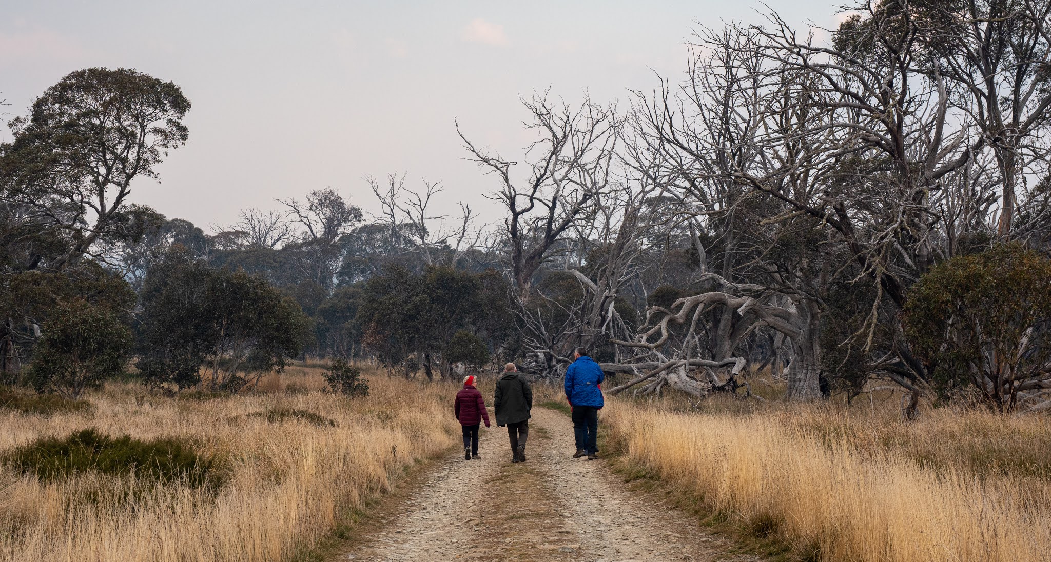
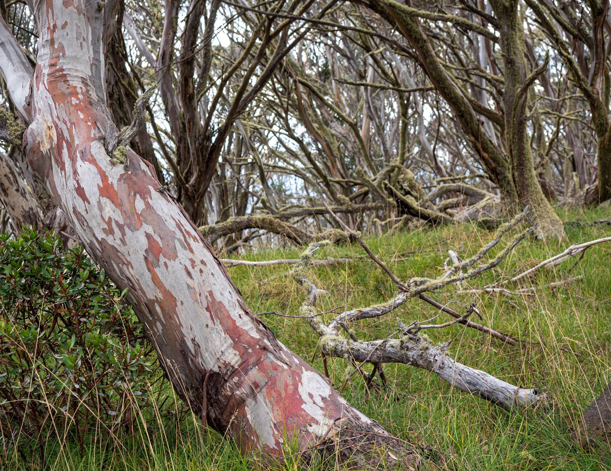
Tuesday- After a leisurely breakfast we took some cars back along the Great Alpine Road and walked 10kms back to Dinner Plain along the Brabralung Trail. At the beginning of the walk we poked around inside Howards Hut erected in 1962 by Billy Howard, a mountain cattleman from Harrietville. Then we set off along the wide gravel track which ran parallel to the road. We briefly pondered the Lost Grave Memorial and then stopped at the nearby Biathlon Range and clubrooms. We were able to safely cross the road via the Skiers Tunnel and followed the track into the Alpine National Park through pleasant forests of snow gums with undergrowth of low growing shrubs and grasses and patches of pretty but weedy white daisies. We managed to have a brief morning tea before a light rain began but it didn’t dampen our enjoyment of seeing a couple of emus further along at JB Plain.
The drying room in our accomodation was utilised and boots were put to dry in front of the fire while we had lunch. Some people decided to relax at “home” and others split into groups and headed off to explore various tracks. I was with a group who ventured back along the Brabralung Trail to JB Plain where we crossed the road and joined the Dead Timber Hill Walking Track. This easy walk was through an area badly affected by the 2003 bushfires but the views from the lookout were stunning. After a couple of kilometres we turned left onto the Room With A View Walking Track which took us through the snowgum forest to an open plain with spectacular views of nearby mountain ranges. Although it was starting to rain again we decided to go back and have another try at finding Carmichael’s Falls while there was still some afternoon left. We were glad we did. The bushfire damage let us see the outline of the hills and mountains and the cliff face of the waterfall. By the time we returned from this walk it was twilight and we were very wet. The coats went back into the drying room and boots were back in front of the fire.
Tim went outside and braved the dark and the rain then the
SNOW to cook tonight’s bbq dinner! There was lots of wine, good food, and
conversation as we swapped details about today’s various walks and were
entertained by Ian’s many stories before some of us headed off to read in bed
or have an early night.
Wednesday – We were up a bit earlier today and greeted by
the glorious sight of snow covering everything. That meant that it was verrry
chilly outside so after brekkie we bundled into many layers of clothes and
drove past Mt Hotham village to the Diamantina carpark. The sky was very grey
and overcast but the sun quickly burned through the gloom and we saw blue sky
for the rest of the day.
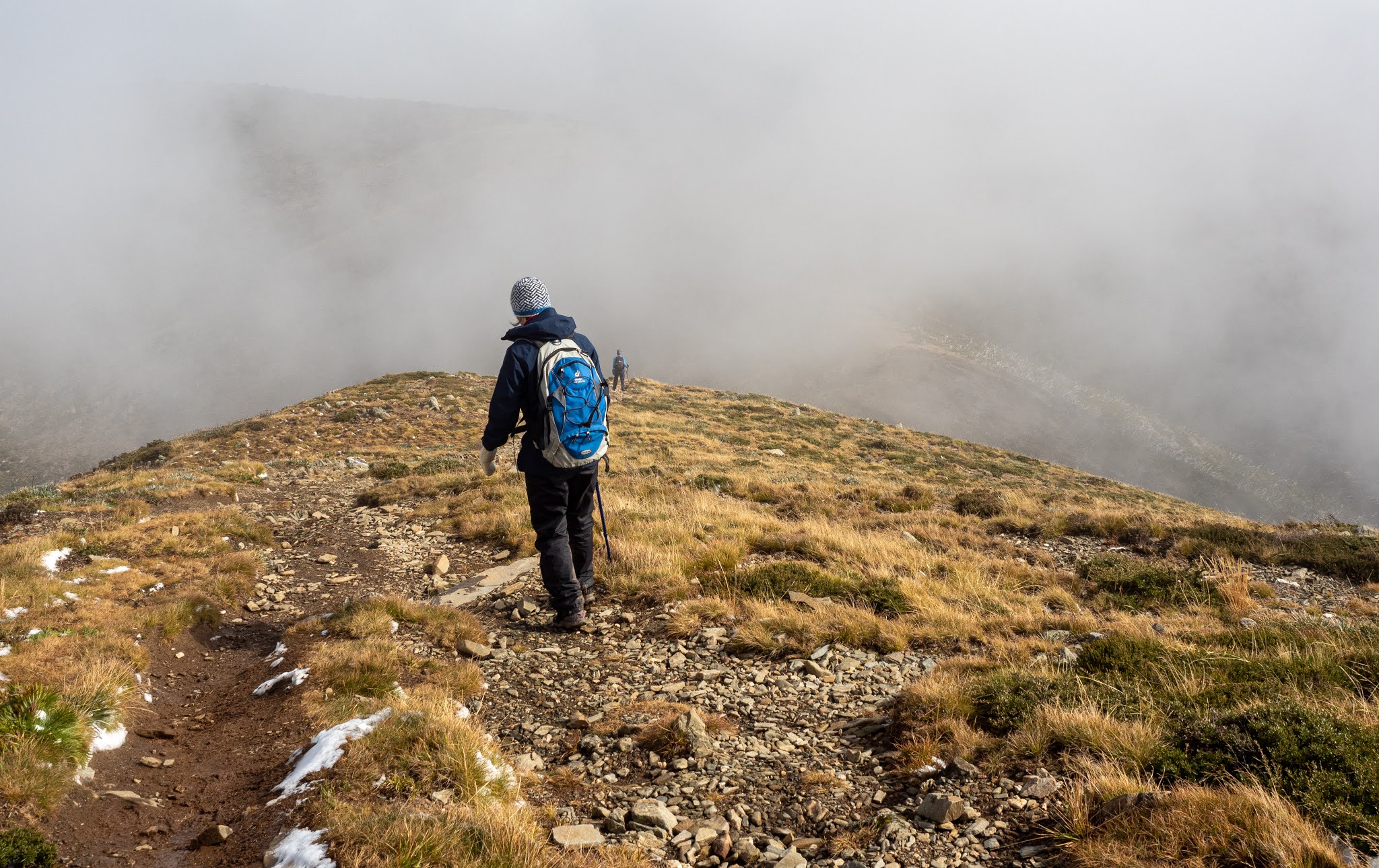
The wind was ferocious and really cold and the snow made the
track a bit slippery in places so we were careful as we began our way along the
Mt Feathertop-Razorback Ridge Track. I have to admit that the initial part of
this walk was not very pleasant, although the scenery was marvellous as the
clouds parted and revealed more of the mountainous terrain. Pretty soon the wind lessened and we warmed
up. Much of the track was above the tree line and very exposed which meant that
there were fantastic views everywhere you looked. At times though, the path
wound through patches of stunted snow gums and low shrubs such as grevilleas.
As the snow melted, our legs and feet ended up very wet as they brushed against
the vegetation and stomped through the muddy puddles. This led to the
surprising sight (later on) of Geoff wearing shorts and bare feet with his
hiking pants flung over a tree branch to dry in the sun as he ate his lunch!
As we caught our breath on top of a high spot on a ridge a
few people decided to head back. The rest forged ahead to eventually arrive at
the junction with the Bungalow Spur Track which leads down to Harrietville.
This flat, grassy area called The Cross is 1.5 km from the summit of Mt
Feathertop. We stopped here for a rest and some lunch and watched incredulously
as Mt Feathertop became completely invisible behind clouds. There was some
discussion about whether we should try to climb to the top: What would the
visibility be like? Would it be safe? Would we be able to see any views? Some
decided to turn back and four of us decided to give it a go. It was steep but
worth it! The track followed a narrow ridge with steep slopes either side.
Wisps of cloud rushed across the track blotting out everything on the right
hand side, then vistas would appear through holes in the clouds on the other
side of the track. Then it would suddenly clear and the views were magnificent
before cloud would quickly obscure the mountain ranges again. The scene changed
constantly. It was magical and gorgeous. There were some very friendly young
folk already at the top and we took photos and congratulated each other. Geoff
and Joan both explored a bit further just to make absolutely sure that we had
made it to the actual summit! There were spectacular 360 degree views from the
top of this 1922m high peak. It is the second highest mountain in Victoria, the
highest being Mt Bogong at 1986m.
After lingering over a snack and the views we headed back
down. We noticed how different the track looked now that the snow had melted
away. There were patches of bright yellow everlasting daisies that had been
closed up and covered with snow when we passed them in the morning. As the sun
was now lower in the sky it was slicing through the clouds and lighting up
strips of mountain side or the tops of the dead trees. It was also becoming
colder. We came around the side of a hill and were amazed by the beauty of the
sunset. The colours became more intense as we walked on: blues, mauves,
purples, pinks, red and orange with the rays of the sun fanning out beneath a
thick band of low lying cloud. We stood and watched it for quite a while,
finding it difficult to drag ourselves away. Apologies to Tim, Mark and Geoff
who had been waiting for us for ages.
The hike was 22kms and took the final stragglers about 9
hours.
We had earlier planned to go out for dinner after our big
day of walking but decided instead to stay home and eat the yummy leftovers.
Thursday – Everyone packed up and left after breakfast. Our car’s passengers stopped at Bright and had a short walk along the attractive Ovens River. The autumn colours of the deciduous trees were stunning and it was a lovely way to finish our brief holiday in this beautiful part of Victoria.
Jan Herperger


Wow Frances! Fantastic photos.
ReplyDeleteBeautiful - thanks so much for sharing!
ReplyDelete